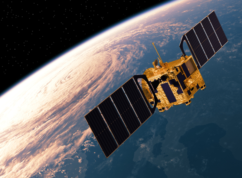
The USGS offer a platform providing access to a range of geospatial data. Use Cases include Land cover change detection, forestry, agriculture, hydrology.
Prerequisites:
• Capability to process EO data
• Procurement pathway
• Partner support as needed
• Data policy (open by default preferred)
• Cybersecurity, data protection, and continuity planning
Cost:
• Ballpark: USD 10k–100k/yr
• Includes: data storage, IT/cloud infrastructure, data analytics
Timeframe:
• Overall: 6–12 mo
• Phase: scoping & identification of relevant datasets (1–3 mo), technical integration & access setup (2–4 mo), training & operationalisation (3–6 mo)
Pros:
• Cost Effectiveness - Improves allocation of financial resources, maximizing impact while minimizing waste
• Leveraging Open Resources - Provides comprehensive coverage useful for monitoring large-scale phenomena like climate change
• Fomenting Development - Fosters innovation by providing resources without financial constraints
Considerations:
• Limited customization - free data may not always meet user needs in terms of resolution, frequency or type of data
• Dependency - Reliant on external providers Security - Not suitable for uses requiring high security standards