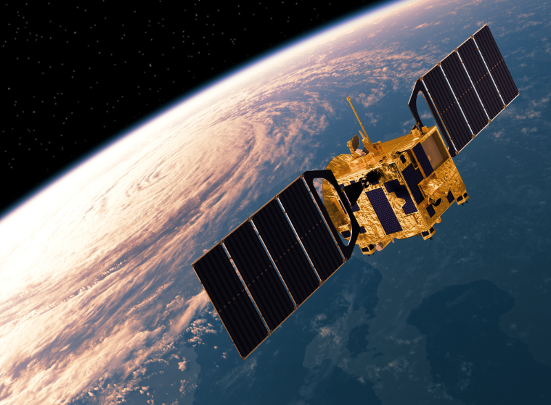
Develop own EO Satellite - India
The Cartosat series, developed by the Indian Space Research Organisation (ISRO), comprises high-resolution optical Earth observation satellites used for cartographic applications, urban and rural planning, and defence. The series began with Cartosat-1 in 2005, which featured dual panchromatic cameras with 2.5-meter resolution for stereoscopic imaging. Subsequent satellites, such as Cartosat-2, improved resolution to below 1 meter and added agility for targeted imaging. The most advanced, Cartosat-3, launched in 2019, offers a panchromatic resolution of 0.25 meters and multispectral resolution of 1 meter.
Prerequisites:
• Satellite manufacturing capabilities
• Ground segment capabilities
• Secure necessary orbital slots and frequency bands internationally for satellite operations
• Spectrum policy & coordination with telecom regulator; ITU procedures where applicable
• Cybersecurity, data protection, and continuity planning
• Government program authorization & multi‑year budget
• Procurement authority
• Skilled integrator/prime
Cost:
• Ballpark: USD 100–300 M per satellite
• Includes: mission and payload design, satellite bus development, assembly/integration/verification (AIV) and testing facilities, licensing and regulatory approvals, launch and insurance, ground segment setup, operations and maintenance, training and technology transfer
Timeframe:
• Overall: 48–96 mo
• Phase: requirements definition & program setup (12–18 mo), design & development (18–30 mo), assembly, integration & testing (18–30 mo), launch & commissioning (6–12 mo)
Pros:
• Technological Independence - Fosters Technological independence
• Data Non-Dependence - Ensures sovereign access to EO data
Considerations:
• Investment Intensive - The project requires substantial initial investment, posing funding risks
• Timeline - Focusing on domestic development without using foreign technology may prolong the development process.